Enhancing Tourism Exploration: Introducing the KAZA TFCA Map Initiative


In a bid to promote tourism and facilitate comprehensive exploration within the Kavango Zambezi (KAZA) Transfrontier Conservation Area (TFCA), the SADC/GIZ C-NRM Programme, in collaboration with the KAZA TFCA Secretariat and Boundless Southern Africa, in partnership with Tracks 4 Africa, are embarked on an ambitious project – the development of a detailed tourism map for the KAZA TFCA.
This initiative aims to provide tourists with vital information and encouraging them to venture into various parts of the TFCA. The project encompassed several key components, including the development of the map itself, sourcing information for unmapped areas, creating promotional materials, and will now distribute the maps for widespread accessibility.
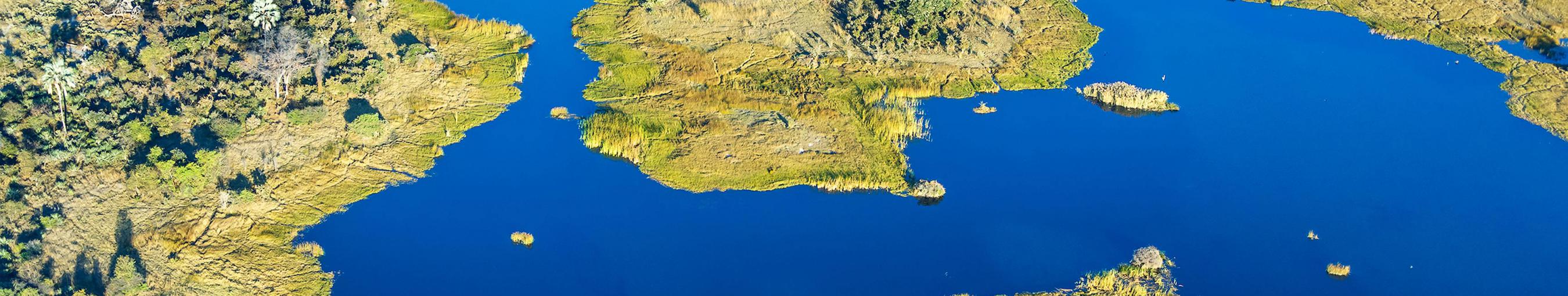
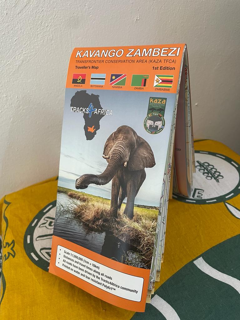
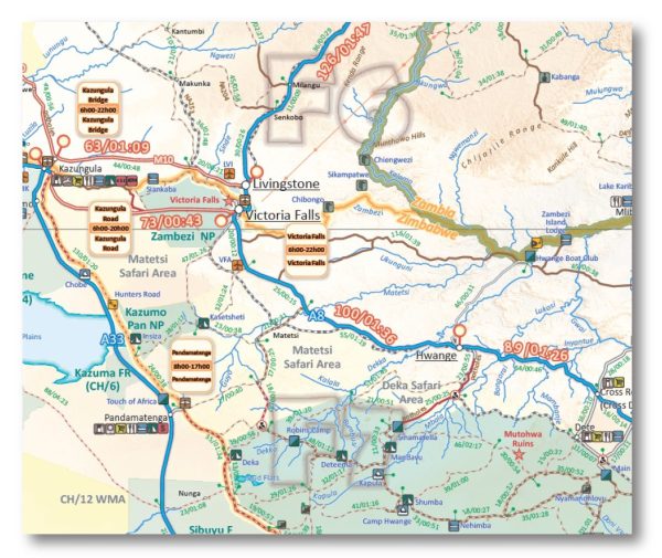
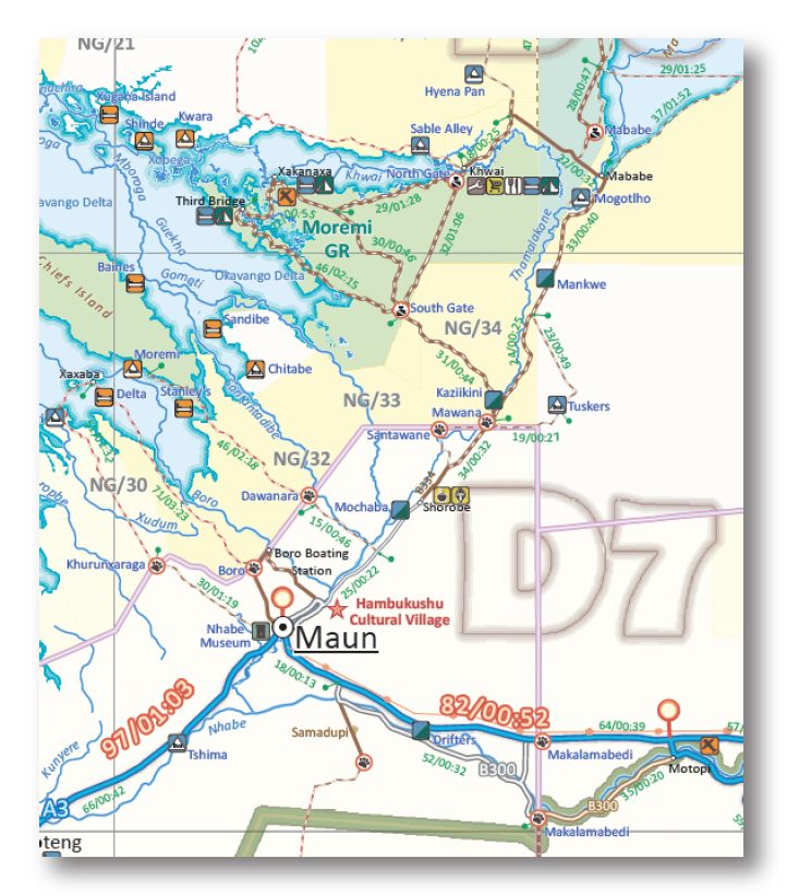
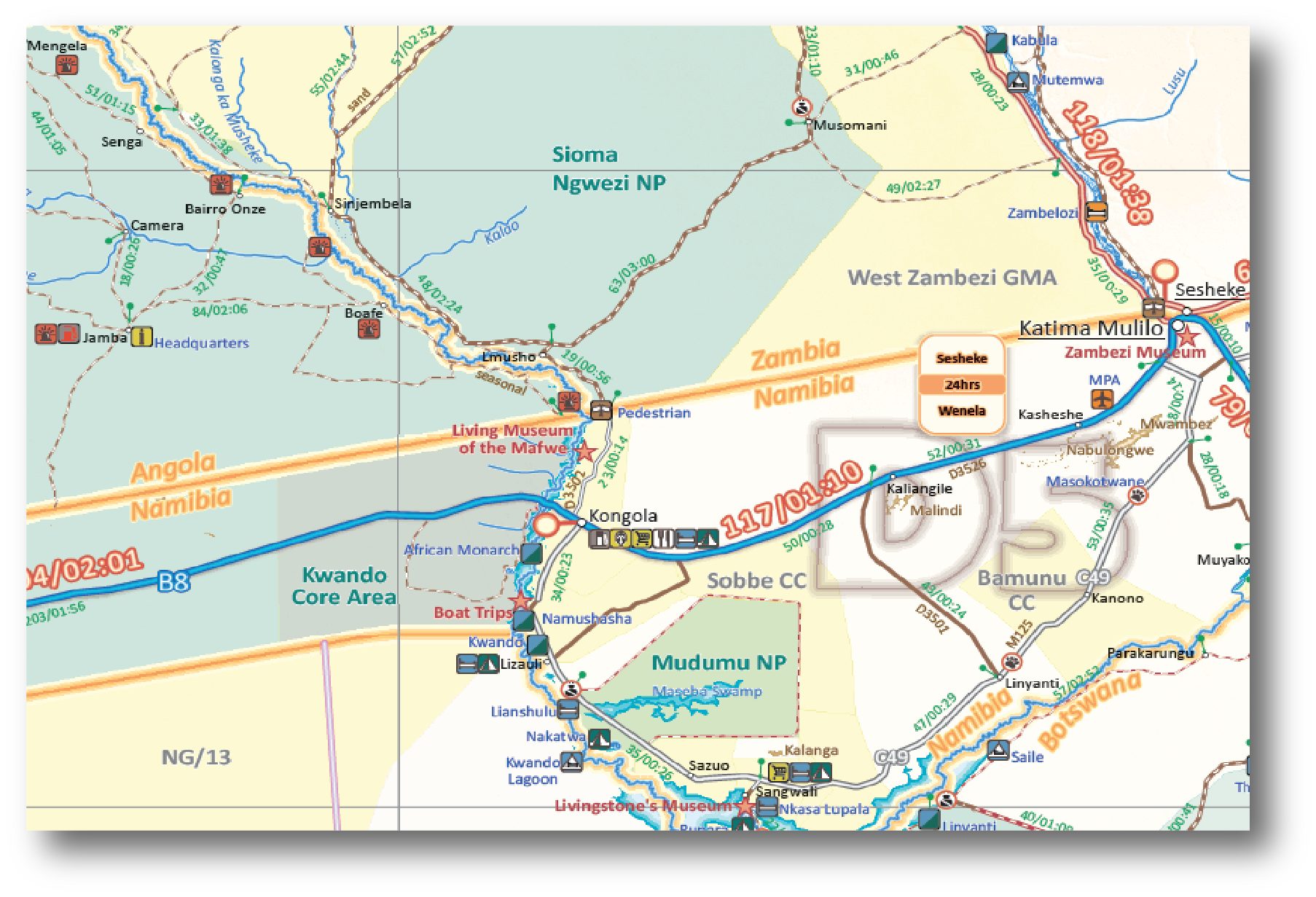
The KAZA TFCA Map is a comprehensive resource, utilizing Tracks 4 Africa's established methodology for crafting traveler's maps. With a scale of 1:1,000,000 and printed on durable PolyArt, the map features essential details such as tourist services, driving times, and regional highlights. By leveraging GPS data and satellite imagery, the map will offer accurate and up-to-date information, ensuring that tourists can effectively plan their journeys and safely navigate the vast expanse of the TFCA.
One of the primary objectives of the KAZA TFCA Map is to extend beyond the boundaries of the TFCA itself, enabling regional travel planning and enticing tourists to explore neighboring areas. Targeted specifically at independent, self-drive travelers, the map allows visitors to tailor their itineraries and embark on unforgettable adventures across Southern and Eastern Africa. The Map can be purchased at: Tracks 4 Africa - KAZA Map.
For more information about the KAZA TFCA Map, please contact Dr. Nyambe Nyambe on nnyambe[at]kavangozambezi[dot]org